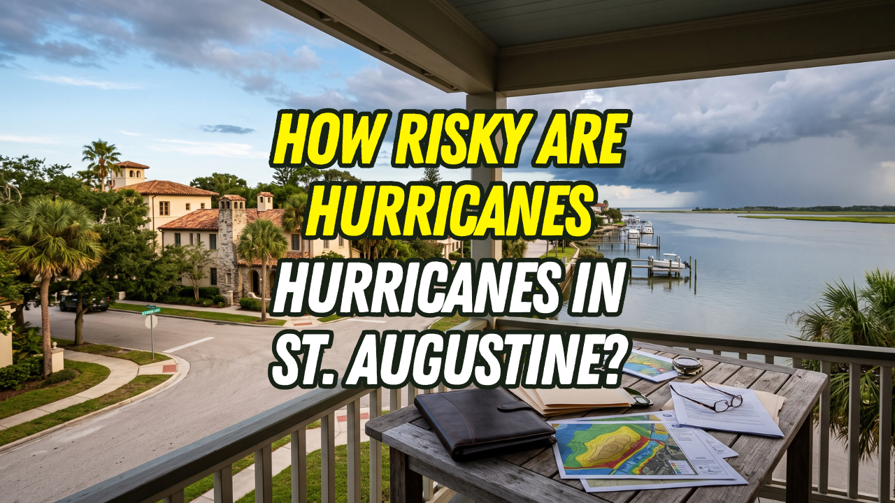
St. Augustine has meaningful hurricane risk, but history shows that the biggest mistake is focusing only on whether a storm makes a direct landfall. Hurricanes passing offshore or crossing other parts of Florida can still bring storm surge, flooding, damaging wind, erosion, tornadoes, and power outages to Northeast Florida. For buyers, the most useful question is not “How often does St. Augustine get hit?” but “How did this property and its surrounding area perform during past storms?”
What Does St. Augustine's Hurricane History Tell Buyers About Storm Risk?
- Direct landfall is not required for serious damage. Hurricane Matthew remained offshore but caused major flooding in St. Augustine.
- Different storm tracks can produce similar local problems. Irma crossed Florida from the south and still flooded many of the same St. Augustine areas affected by Matthew.
- Water can be as important as wind. Storm surge, tides, rainfall, rivers, creeks, and drainage all influence local flood risk.
- Risk is property-specific. Elevation, construction, drainage, roof condition, flood zone, and proximity to water can make nearby homes perform differently.
- Historical experience is useful, but it is not a guarantee. A home that has never flooded can still flood in a future storm.
- Buyers should investigate insurance before closing. Hurricane deductibles, flood coverage, roof age, and wind mitigation can materially affect ownership costs.
1. St. Augustine Has a Long History of Tropical Weather Exposure
NOAA's historical hurricane database contains more than 150 years of tropical-cyclone track information and allows users to examine storms affecting specific locations. That historical record is useful because it shows that coastal hurricane risk is not a simple question of counting storms that crossed a city boundary. St. Augustine sits on Florida's Northeast Atlantic coast near barrier islands, Matanzas Bay, the San Sebastian River, Salt Run, creeks, tidal areas, and other waterways. That geography creates several different ways a tropical system can affect the area.
Possible impacts include:
- Storm surge
- Coastal flooding
- Heavy rainfall
- River and creek flooding
- Tidal flooding
- High winds
- Tornadoes
- Beach and shoreline erosion
- Fallen trees
- Power outages
- Road closures
The City of St. Augustine says about 90% of city residents live in a floodplain and notes that flooding can result from ordinary rainfall combined with high tides, tropical storms, hurricanes, storm surge, overflowing waterways, and localized heavy rain. That does not mean every property carries the same level of risk. It does mean that storm history belongs in the buying conversation.
2. Hurricane Matthew Showed Why “Direct Hit” Can Be Misleading
Hurricane Matthew is one of the clearest examples of why buyers should not judge St. Augustine risk by direct landfalls alone. In October 2016, Matthew moved northward just offshore of Florida's Atlantic Coast. The National Hurricane Center's official report documents Matthew as a powerful hurricane that paralleled portions of the Florida coastline rather than making landfall in St. Augustine. Yet the local impacts were substantial.
The City of St. Augustine reports that Matthew caused flooding in:
- Davis Shores
- Lincolnville
- Historic District areas
- Parts of Abbott Tract
City flood-protection materials state that Matthew's storm surge brought flood levels up to the Base Flood Elevation through much of the city and caused millions of dollars in residential and commercial damage. Davis Shores provides a particularly useful case study. City engineering documents show that shoreline erosion accelerated during Matthew and that the neighborhood experienced flooding related to coastal water levels, waves, and vulnerable drainage infrastructure. For a buyer, the lesson is straightforward: A hurricane does not have to cross directly over the property to create a major loss. Storm size, wind direction, tides, water levels, rainfall, shoreline shape, drainage, and elevation can all influence the outcome.
3. Hurricane Irma Proved That a Very Different Track Could Still Affect St. Augustine
Less than a year after Matthew, Hurricane Irma created another major test. Irma made its major Florida landfalls much farther south, crossing the Florida Keys and southwestern Florida before weakening as it moved north through the state. By the time its center reached northern Florida, Irma had weakened to a tropical storm—but its wind field was enormous, with tropical-storm-force winds extending hundreds of miles from the center. St. Augustine still experienced significant impacts. The National Hurricane Center recorded tropical-storm conditions in the St. Augustine area, and its updated 2026 Irma report notes that an EF-1 tornado affected St. Augustine while another stronger tornado struck near Crescent Beach. The City of St. Augustine reports that Irma flooded many of the same areas affected by Matthew. City materials also note a high-water mark approximately 45 inches above St. Francis Street and storm-surge entry from the south through the Lake Maria Sanchez area. That history matters because Matthew and Irma approached the region very differently. Yet both caused local flooding. This reinforces an important point for buyers: there is no single hurricane track you need to fear and no single track that guarantees safety.
4. Flooding May Be the Most Important Risk to Understand
When buyers think about hurricanes, many picture wind first. In St. Augustine, water deserves equal attention. The city's flood-hazard information identifies several local water bodies that can be affected during storms, including Matanzas Bay, the San Sebastian River, Salt Run, Hospital Creek, Oyster Creek, and Lake Maria Sanchez.
Flooding can come from several sources at once:
- Storm surge pushing coastal water inland
- High tides
- Heavy rainfall
- Creeks and waterways overflowing
- Drainage systems backing up
- Water entering stormwater infrastructure during high tides
City engineering materials explain that in areas such as Davis Shores, high tides can push water backward through stormwater systems. If heavy rain occurs simultaneously, stormwater may have nowhere to drain until water levels recede. This means a buyer should not judge flood exposure simply by measuring how far a home is from the beach. An inland or bayside property can have its own drainage and water-related vulnerabilities. Likewise, two nearby homes may perform very differently because one sits higher, has better drainage, was built differently, or has undergone mitigation improvements.
5. Hurricane History Should Lead to Property-Level Questions
Historical storm data is useful only if it changes how you evaluate the home.
When considering a St. Augustine property, ask:
- Did this property flood during Matthew?
- Did it flood during Irma?
- Has water entered the garage, crawlspace, or lower enclosure?
- Has water reached the lot without entering the living area?
- What happened on this street during previous storms?
- Have nearby roads become impassable?
- What is the current FEMA flood zone?
- Is an elevation certificate available?
- What is the home's finished-floor elevation?
- What drainage improvements have been made?
- Were storm-related repairs properly permitted?
Do not assume a seller's statement that “the house never flooded” answers every question. Maybe it did not flood during their ownership. Maybe water reached the yard but not the structure. Maybe the street became inaccessible. Maybe the home was rebuilt or elevated before they purchased it. Historical storm experience should become the beginning of due diligence, not the end.
6. Wind Risk and Construction Matter Too
Flooding receives substantial attention in St. Augustine because of the city's geography, but hurricane risk is not only about water. Wind can damage roofs, windows, doors, siding, trees, fencing, exterior structures, and utilities. Irma demonstrates that even when a storm's center is not near the city, a large circulation can still bring substantial wind and tornado risk to Northeast Florida. The National Hurricane Center reported sustained winds of 60 mph with a 69 mph gust at a St. Augustine observing station during Irma, along with tornado damage in the region.
Before buying, investigate:
- Roof age
- Roof covering type
- Roof-to-wall connections
- Impact-rated openings
- Shutters
- Exterior-door protection
- Garage-door strength
- Tree condition
- Generator capability
- Wind-mitigation inspection results
A newer roof can help, but age alone does not tell the full story. Ask what was installed, when it was permitted, and what documentation is available.
7. Insurance Can Change the Economics of the Home
Hurricane history matters financially because risk affects insurance and long-term ownership planning. Before you become committed to a property, obtain property-specific homeowners insurance quotes. If flood exposure is relevant, discuss separate flood coverage as well.
Ask your insurance professional about:
- Annual premium
- Hurricane deductible
- Wind coverage
- Flood coverage
- Roof-related underwriting requirements
- Wind-mitigation credits
- Policy exclusions
- Replacement-cost coverage
This is important because two homes with nearly identical purchase prices can have very different total monthly costs once insurance and storm-related maintenance are included. A home with documented mitigation features may produce a different insurance outcome than a nearby property with an older roof or fewer protective features. Do this research early enough that the numbers can influence your buying decision.
What Hurricane History Does Not Tell You
Historical data is valuable, but it has limits. A past storm track cannot tell you exactly where the next hurricane will go. NOAA's historical hurricane tool is designed to help users examine previous tracks and patterns—not predict a future landfall at a specific address.
Likewise:
- A home that survived Matthew can still be damaged by another storm.
- A street that did not flood during Irma can flood under different rainfall or surge conditions.
- A Zone X property is not guaranteed to remain dry.
- An elevated home can still face wind, access, utility, or lower-level flooding issues.
- A newer home is not automatically immune from storm damage.
History gives you evidence. It does not give you certainty.
Common Misconceptions About Hurricane Risk in St. Augustine
“St. Augustine rarely gets a direct hit, so the risk is low.”
Matthew demonstrated why this reasoning can fail. The hurricane remained offshore, yet St. Augustine experienced substantial flooding.
“Only beachfront homes have hurricane risk.”
Flooding has historically affected inland and bayside parts of the city as well, including Lincolnville and Historic District areas.
“If the home didn't flood in Matthew or Irma, it is safe.”
Past performance is useful information, not a guarantee about future storms.
“Hurricane category tells me how much damage my house will have.”
Category measures sustained wind intensity, not every individual hazard. Surge, rainfall, tides, tornadoes, waves, and local geography can all affect damage.
“All homes in the same neighborhood have the same risk.”
Elevation, drainage, construction, location, and mitigation can vary parcel by parcel.
Important Hurricane Due Diligence Before Buying
Before closing on a St. Augustine home, consider reviewing:
- Current FEMA flood information
- Available elevation certificate
- Prior flood and water-intrusion history
- Known Matthew and Irma impacts in the immediate area
- Homeowners insurance quotes
- Flood insurance options
- Hurricane deductible
- Wind-mitigation inspection
- Roof age and permits
- Window and door protection
- Drainage around the home
- Condition of nearby trees
- Evacuation zone and route
- Whether surrounding roads historically flood
- Backup-power considerations
The goal is not to eliminate all hurricane risk. That is unrealistic in coastal Florida.
The goal is to understand the risk you are accepting and decide whether the home, cost, construction, and location make sense for you.
“Kim was amazing! She helped us navigate the whole process of moving and continues to support us even after our move offering helpful suggestions for service providers, etc. We would highly recommend Kim to anyone looking to move to the Saint Augustine area. She knows the area so well! Reach out to Kim and her team. You won’t be disappointed!”— Marcie P.
FAQ
Does St. Augustine get hit by hurricanes often?
St. Augustine does not experience hurricane impacts according to a predictable schedule. NOAA's historical hurricane records show why buyers should evaluate many decades of tracks rather than assume a fixed recurrence interval. Significant local effects can occur even when a hurricane does not make landfall in St. Augustine.
What did Hurricane Matthew do to St. Augustine?
Hurricane Matthew passed offshore in October 2016 but caused significant flooding in St. Augustine. The city identifies Davis Shores, Lincolnville, Historic District areas, and portions of Abbott Tract among the affected locations.
How did Hurricane Irma affect St. Augustine?
Irma crossed Florida in September 2017 with a much different track from Matthew, yet St. Augustine again experienced flooding. The city says many of the same areas flooded, while the National Hurricane Center also documented strong winds and tornado activity in the St. Augustine region.
What is the biggest hurricane risk for a St. Augustine home?
There is no single answer for every property. Depending on location and construction, flooding, storm surge, wind, drainage, erosion, falling trees, power loss, or road access may be the bigger concern. Evaluate the exact property rather than assigning one risk level to the entire city.
Should hurricane risk stop me from buying in St. Augustine?
Not necessarily. Hurricane exposure is part of owning property in coastal Florida, but risk varies significantly from one home to another. The more useful approach is to understand the property's flood history, elevation, construction, insurance costs, mitigation features, and location before deciding whether the risk fits your goals.
What History Really Tells Us
The clearest lesson from St. Augustine's hurricane history is not that one particular type of storm will cause the next problem. It is that different storms can create serious local impacts in different ways.
Matthew stayed offshore and produced severe coastal flooding. Irma crossed Florida on a different path and still brought flooding, wind, and tornado impacts to the region. For buyers and homeowners, that means hurricane preparedness should not be based on whether St. Augustine is forecast to take a “direct hit.”
Understand the property. Understand the water. Understand the construction. Understand the insurance. And understand how the surrounding neighborhood has performed during previous storms.
Next Steps
If you are buying or already own a home in St. Augustine, the Kim Devlin Team can help you make hurricane-risk due diligence part of the real estate conversation rather than an afterthought.
That can include helping you compare neighborhoods and properties, identify questions about prior storm impacts, locate relevant transaction documents, and coordinate the information you receive from inspectors, insurance professionals, lenders, FEMA resources, and local agencies.
Contact the Kim Devlin Team at (904) 747-0183 if you want local guidance while evaluating a St. Augustine property and the hurricane, flood, insurance, and location factors that may affect your decision.
The Kim Devlin Team provides real estate guidance and does not predict hurricanes or determine engineering, flood, insurance, or structural risk. Storm patterns, flood maps, insurance requirements, property conditions, and regulations can change. Buyers and homeowners should verify material information with NOAA, FEMA, local government agencies, licensed insurance professionals, inspectors, engineers, lenders, and other qualified professionals as appropriate.
Check out this article next